Drones To Enhance Maritime Surveillance Efforts, Say Officials

- India has a long shoreline that stretches over 7,516.6 kilometers and includes nine states and four Union Territories.
- After the 26/11 attacks, the government has taken a number of steps to strengthen coastal defenses against maritime threats.
Officials said on Sunday that security agencies are working on plans to use drones to keep an eye on the coastlines of Mumbai and Goa to improve sea safety. This comes after three people from Kuwait recently got to the Gateway of India, which showed that the current system for protecting the coast isn’t completely secure, they said.
The three men—Nitso Ditto (31), Vijay Vinay Anthony (29), and J Sahayatta Anish (29); they were in Indian waters after stealing a boat from their boss in Kuwait and saying they were being mistreated.
They were caught for breaking the Passport (Entry into India) Rules when they turned themselves in to the police. Officials were worried that the people could have easily mixed in with the locals and gone unnoticed.
Investigators said that their Global Positioning System (GPS) was missing many patches, even though the three of them said they had turned it off to save battery life.
Officials believe that anti-national groups could use these things in a bad way and have pushed for the widespread use of drones to keep an eye on the country’s ocean borders.
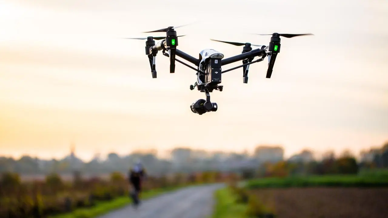
Officials said that traditional maritime surveys and inspections will have to change when Unmanned Aerial Vehicles (UAVs) are added. This is because drones, which are equipped with high-resolution cameras and sensors, would make these tasks much more efficient and cost-effective.
By taking detailed pictures and videos of ships, offshore buildings, and coastal areas, the drones would help keep an eye on things with unmatched accuracy.
Officials stressed how important it is to increase coastal monitoring after the terrible events of November 26, 2008, when Lashker-e-Taiba terrorists killed 166 people in Mumbai.
Because of the need for extra safety, security officials think that long-range drones should be used to keep an eye on the 652.6-kilometer coastline in Maharashtra and the 101.0-kilometer stretch in Goa.
By buying drones with advanced features like vertical take-off and landing, the Coast Guard is taking a step toward improving security operations, search-and-rescue tasks, and surveillance.
However, the officials stress how important it is to get more drones with long range and night vision so that they can stop possible threats from neighboring countries, especially Pakistan.
It is important to have drones with night vision and thermal imaging for maritime border monitoring at night or in bad weather, because they can see heat signatures and strange activities even when there isn’t much light.
Officials believe that drones with advanced tracking and identification tools could find ships with Automatic Identification Systems (AIS) and follow their motions.
India has a long shoreline that stretches over 7,516.6 kilometers and includes nine states and four Union Territories. This shows how big the security problem is.
After the 26/11 attacks, the government has taken a number of steps to strengthen coastal defenses against maritime threats. These include bringing together maritime stakeholders into a single coastal security framework and setting up Joint Operations Centers (JOC) in key coastal cities to help with this.
Through these JOCs, teams from the naval and Coast Guard, state marine police, Customs, the Intelligence Bureau, and port authorities can work together and be watched around the clock. This has made it possible for a seamless network to form, showing a shared dedication to protecting India’s coastal borders from possible threats.


Facebook Comments