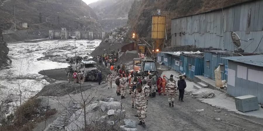
People from Joshimath town are being moved to safer areas by the government of Uttarakhand. The Indian Army has also been contacted and told to be ready. This is on top of the one National Disaster Relief Force team and four State Disaster Relief Force teams that were already there.
Since two weeks ago, the land in town has been sinking, which has caused cracks in the houses. The Army has been put on “stand by,” according to sources.
Joshimath is important because the Line of Actual Control with China is only about 100 kilometres away. The Indo-Tibetan Border Police are also present in the area in a big way.
Other sources said that the construction workers used “silent explosives” to avoid getting caught by the police. “This has made the problem even worse,” they said.
“The ground has cracks that go in an arc from north to south, and the water that comes out of the cracks is dirty,” the sources said.
“The big cracks have been getting bigger over the last 15 days, but they started after the flash floods in Raini Village of Chamoli district in February 2021,” they said.
Experts have said that the town is in a place that is hard on the environment (raised on moraine – material left behind by glaciers).
“Bad town planning and building projects are to blame for this crisis,” the sources said.
Many people on the ground have also asked for the NTPC’s Tapovan-Vishnugad project and the building of the Helang-Marwari bypass, which are both blamed by the Joshimath Bachao Sangharsh Samiti, to be stopped completely.
The government has set up three zones: the danger zone, where people need to leave right away; the buffer zone, which could become dangerous soon; and the safe zone.
The Central Building Research Institute went to Joshimath to look at the damage to buildings in order to get compensation.
The Army is being put on standby. The news comes on the same day that environmentalist Chandi Prasad Bhatt, who is part of the Chipko Movement, was quoted as saying that he had warned the Uttarakhand government of the dangers in a report he gave to them in 2001.
Over 98% of the mapped area was shown to be prone to landslides in some way. 39% of the area was found to be a high-risk zone, 28% was a moderate-risk zone, 29% was a low-risk zone, and the rest was in the lowest risk zone.
